Register or sign in to enrol in this course.
About This Course
Learn how to use IWMI’s water data products from Digital Innovations for Water Secure Africa (DIWASA) project available through the Digital Earth Africa Sandbox platform. The topics will be covered include spatio-temporal analysis of rainfall, evapotranspiration statistics across multiple scales and distribution of soil moisture in the irrigation scheme. At the end of the courses, participants will be impacted with skills to conduct integrated watershed management
This four-session course covers an introduction, Spatio-temporal analysis of rainfall over Awash basin in Ethiopia, evapotranspiration statistics across multiple scales in Awash basin in Ethiopia and distribution of Soil Moisture in the Meki-Ziway Irrigation Scheme in Ethiopia.
Prior experience in Earth observations, satellite data, or coding is required, and participants should consider completing Introduction to Sandbox course https://learn.digitalearthafrica.org/courses/course-v1:digitalearthafrica+DEA101+2021/course/. All sessions feature step-by-step instructions and knowledge check quizzes, with the opportunity to achieve certification by passing all tasks.
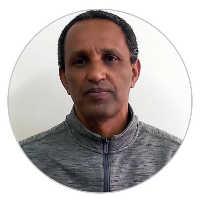
Mr. Mulugeta Tadesse
Spatial Data Scientist, IWMI Ethiopia
Mulugeta provides technical support and co-developing use cases with individuals, and institutions.
Ephrem Derso Negash
Earth Observation Scientist, IWMI Ethiopia
Ephrem provides technical support and co-developing use cases with individuals, and institutions.


