Kenneth Mubea, PhD
User Engagement Manager
Kenneth leads technical assistance and user engagement, supports adoption of DE Africa services, and collaborates with partners across the continent.

Register or sign in to enrol in this course.
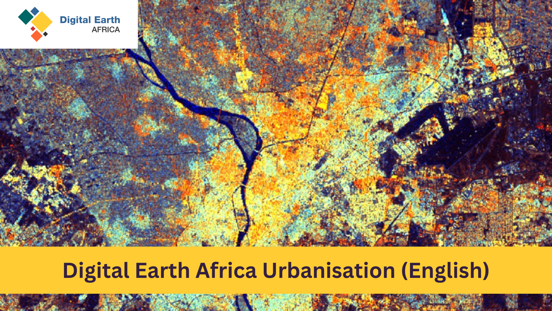
Learn how to select, load, and analyse Earth observation (EO) satellite data to monitor urbanisation across Africa using the Digital Earth Africa (DE Africa) platforms. You will work primarily in the browser-based Analysis Sandbox (JupyterLab) and also explore the DE Africa Map for quick visualisation. Inspect cities at scale, map built-up areas, assess green space and tree cover, and run quantitative analyses that support sustainable urban planning.
This self-paced program is delivered over six sessions (plus a bonus “Python Basics” refresher):
No prior experience in Earth observation or coding is required. Each session includes step-by-step walkthroughs, practice activities, and knowledge checks—with the opportunity to earn a certificate by meeting the assessment threshold shown on your Progress tab.
User Engagement Manager
Kenneth leads technical assistance and user engagement, supports adoption of DE Africa services, and collaborates with partners across the continent.

Technical Manager
Edward provides technical support, capacity building, and co-develops use cases with individuals, institutions, and partners using DE Africa services.
Co-developers of the original Urbanisation course content in collaboration with Digital Earth Africa.
You can browse the public overview page without an account. To access lessons, complete quizzes, and earn a certificate, please register and then enrol.
Yes—most sessions use the DE Africa Analysis Sandbox (JupyterLab). The course guides you through creating an account and running notebooks step-by-step.
The DE Africa Learning Platform works best with current versions of Chrome, Edge, Firefox, or Safari. Please ensure cookies and JavaScript are enabled.
Visit the DE Africa Help Desk to search the Knowledge Base or submit a support ticket, and consult the DE Africa User Guide for technical documentation.
Ready to begin? Create your account, then return to this page and click Start Course.